Measuring the distance between any two points in Google Maps is very useful to know how long it would take to travel from one place to another, or simply to know how far one city is from another, for example. Probably on more than one occasion you have had the need to calculate distances in Google Maps, so the following new application for Android will surely be useful to you..
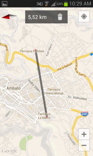
It is Maps Measure, available for free at this link , and it is an essential tool for those who depend a lot on Google Maps. It does something quite simple but very necessary: measure or calculate the distance between two or more points on the map. It's all a matter of touching the screen at any starting point and then at an end point. Immediately the distance between these two points (in KM) will be shown at the top, speaking in a straight line, of course. It does not provide the distance between the two points, for example based on a specific route or road.


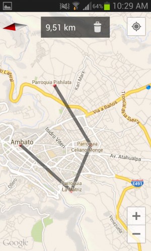
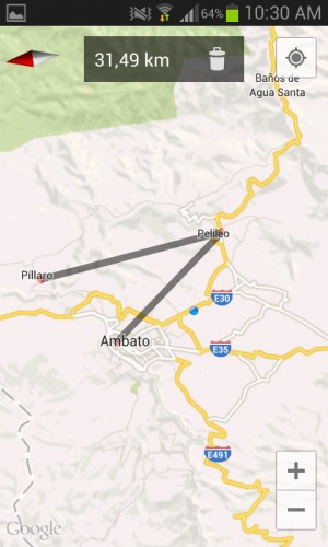
Maps Measure allows you to select multiple points at the same time and know the total distance between all of them - create a route and know its distance, following or trying to follow a path, for example. For this, you just have to click on the places consecutively and the tool will automatically let us know what the total distance between them is..

If you want to erase the defined points and their distances, just use the trash can icon at the top, multiple times until they all disappear to start over.
I clarify that Maps Measure has Google Maps integrated into it, so you only need the first one to start calculating or measuring distances..
There cannot be something simpler than this utility for Android to be able to know how many kilometers there are between one place and another within Google maps. We only have to define any two cities or towns and we will immediately be told what we want to know, and forget about the "calculation by eye."
Update : The latest version of Google Maps already brings its own option to measure distances. You have to touch a point on the map, slide the bottom panel and touch the "Measure distance" option. We have tested this option in version 9.34.1 of Google Maps for Android.