Navigate with Google Maps for Android 360 degree streets with Street View Quickly access Street View
Not always easy to find your way in the labyrinth of streets. It is for this reason that Google has integrated the Street View function into its Maps application. Only small downside its use requires a little learning. Without further ado we will explain how to use Google Street View on an Android smartphone..
Navigate with Google Maps for Android
We no longer present Google's online mapping service. This powerful system is regularly enriched with new features to help users find their way around.
This is the case, for example, of the new tool allowing to view maps without internet connection. The traveler downloads the card of his choice from his internet box and then saves it in the storage memory of his terminal. The plans can then be viewed offline. Very practical especially abroad when you do not have a free Wi-Fi hotspot..
360 degree streets with Street View
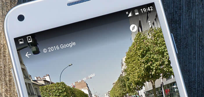
But Google Maps is not only maps, it is also the Street View function. For those who have forgotten this tool offers a virtual tour service . You can navigate the streets of the world without leaving your home.
Street View not only helps internet users to discover distant lands comfortably seated on their sofa, it also allows them to move more easily. If you are about to go to an appointment, using Street View will allow you to find out where you need to be in seconds..
Quickly access Street View
The flagship feature of Google Maps has its own application. It is available for free on the Play Store: Google Street View. If your smartphone memory starts to run out, know that it is possible to access Street View directly from Google Maps. To do this, simply follow the following procedure.
- Launch the Google Maps app
- Then place a pushpin on the map leaving your finger pressed for a few seconds on the area you want to explore virtually
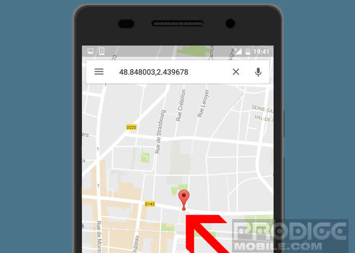
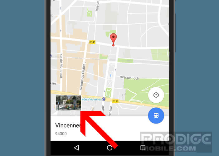
- A thumbnail containing the street view will appear at the bottom of the screen
- Click on this thumbnail to launch the Street View tool
- Move across the street by dragging the image from left to right
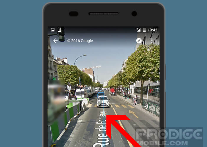 To explore the surroundings or wander the adjacent streets, slide your finger on the blue line. Note that you can share an image by email or on social networks
- Launch Street View on Google Maps
- Click the Menu button
- In the menu choose the Share option
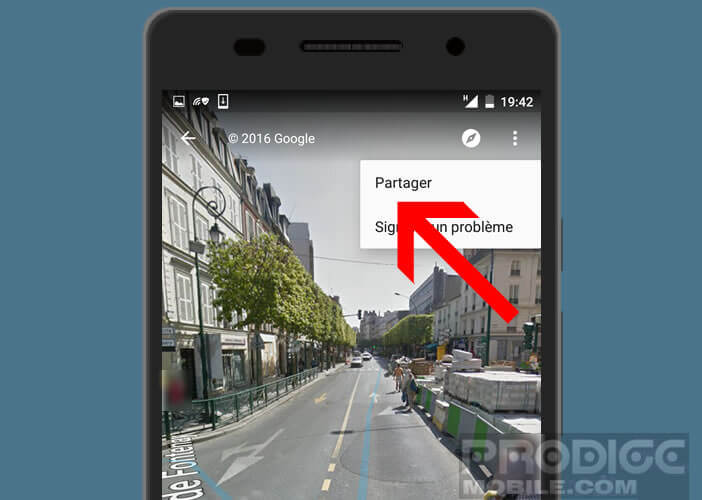
- Then select the application with which you want to share the photo.