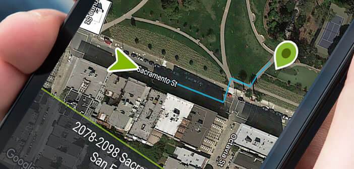
Why continue to use a very energy-consuming GPS application when there are pedestrian navigation systems that can save you up to 80% of battery when traveling. You do not believe in it ? Today we are explaining how to find your way around and find your way around on a map without using the GPS chip on your Android smartphone..
Energy-efficient GPS chip
GPS navigation is undoubtedly one of the most popular functions on an Android mobile. Problem, once the location function activated, the autonomy of the smartphone takes a hit. Few smartphones can last more than two hours with Google Maps launched. It's very simple, the navigation systems literally devour the batteries.
These multiply the GPS requests all along the route. Added to this is the fact that navigation applications continue to run in the background even with the screen off. As a result, the autonomy offered after a full charge is much lower than that announced by the manufacturers..
Record sensors and autonomy
Modern smartphones today are loaded with sensors: gyroscope, accelerometer, barometer, proximity sensor, compass, magnetometer. These are used to precisely measure any type of movement and, unlike a GPS chip, they are particularly energy efficient .
 This is why certain navigation applications such as Smart Navi offer guidance systems based on these sensors. They can easily replace apps like Waze or Google Maps while drastically reducing your battery consumption..
How to use Smart Navi
The Smart Navi app is available for free from the Google Play Store. Its guidance is only reserved for walking. Before downloading it, please check that your smartphone has the sensors necessary for its use.
- Launch the Play Store app
- Type Smart Navi in the search field or click on the link given above
- During the first start, the application will ask you to enter your size
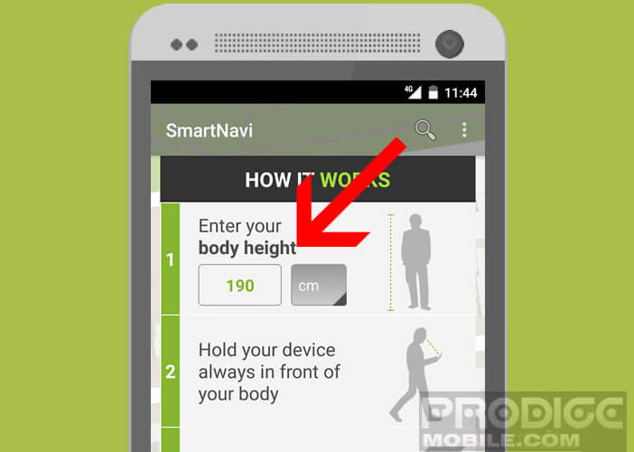
- This information will allow him to accurately calculate the length of your steps
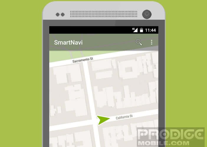
Here the configuration of Smart Navi is now finished. Note that this tool works like any other GPS application. Once launched, Smart Navi will determine your first position using the GPS chip on your smartphone. 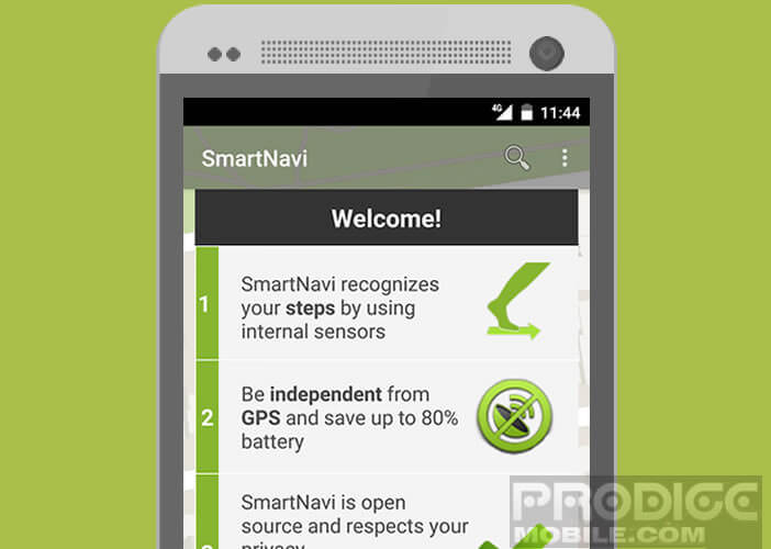 The rest of your movements will then be determined using internal sensors.
To avoid any miscalculation, you must keep your mobile well parallel to the ground. This will allow Smart Navi to position you correctly on the map. 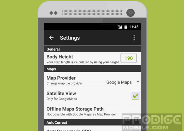 Note that this application can also be used to provide information on your location to other applications such as Pokemon Go.