When we take a picture with our smartphone, it is stored with various features that give details of all the information in the image such as place and date of the shot, camera model, contrasts and more..
At this point, geo-tagging is saved, which allows you to define the exact location where the photo was taken and we can use the Photos application in macOS High Sierra to see the location of that photo on the map.
Let's see how to achieve it..
The process is quite simple and the image to be reviewed must have active geotagging, this is achieved by configuring the camera on the device used.
See map of photo locations with the macOS tag
Step 1
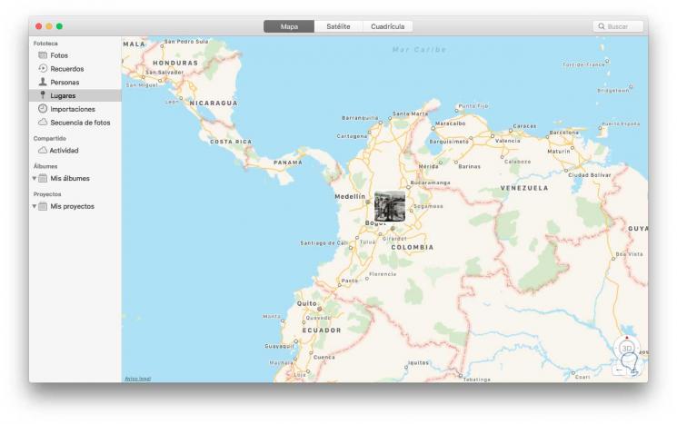
To see the location map, we go to the Photos application in macOS High Sierra and in the displayed window click on the "Places" section, we will see the following:

Step 2
The Places section of the Photos application will always display the images tagged with GPS found within the Photos application.
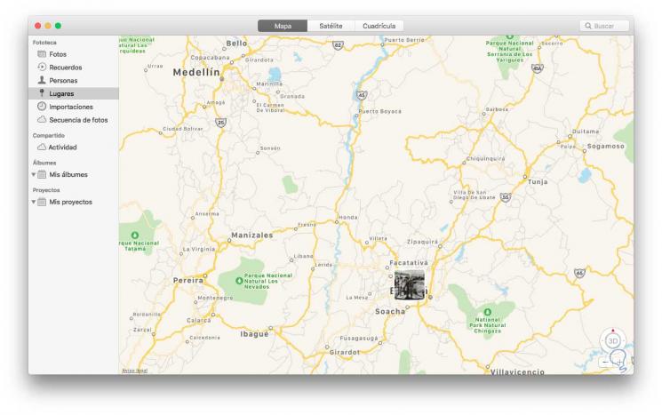
There we can define the type of desired map, Satellite, Grid, etc, or expand the view for better details. It will also be possible to display nearby geotagged photos that may be related to some geotagged image that is already in the MacOS High Sierra Photos application..

To do this, we open the Photos application and open a geo-tagged image where we want to find other photos near it, then, we go to the bottom and locate the Places section and there we will click on the “Show nearby photos†option.
With this simple method we can see on a map, the exact location of any image with the active geolabel system.